
Info |
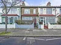
McLeod Road (1900s) |
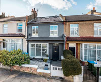
Congress Road (1900s) |
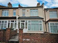
Rochdale Road (1900s) |
|---|---|---|---|
 |
 |
 |
 |
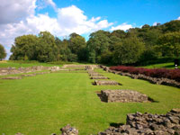
This is a guide to the best period properties in Abbey Wood. It covers architectural types, the history of the road plus key properties in each road. The Bostall Estate was developed south of the railway from 1900-1914. 1897-1902 Map of Abbey Wood. In the 1930s land developed to the south-east of the preserved heath and woodland. From 1959 the London County Council built the Abbey Wood estate north of the railway line. From 1967 Thamesmead was built between the Thames and Abbey Wood. In the 2020s Thamesmead upgraded. |
Map |
Map |
Map |
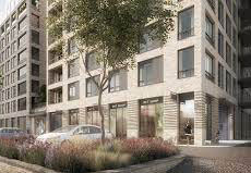
Abbey Place (2010s) |
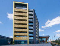
Eynsham Drive (2020s) |
Round-Up |
More SE2 Guides |
 |
 |
 |
|
Map |
Map
|