This is a guide to the best period properties on and off the Old Kent Road. It covers architectural types, the history of the road plus key properties in each road. We have added some maps to shown the growth of residential streets of the Old Kent Road.
1746 Rocque’s Map
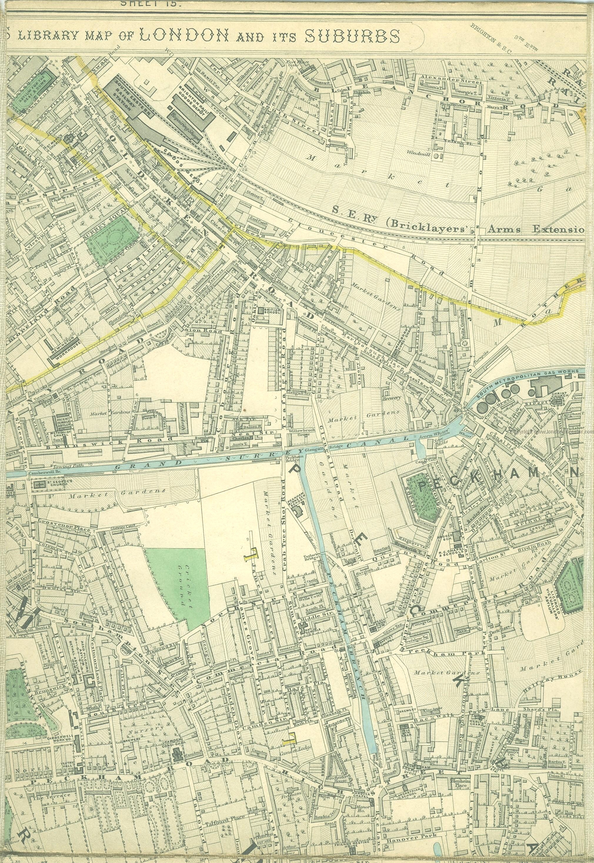
1837 Cary’s map
1860s Stanford’s Map
1908 Maps (map 1 + map 2)
1950’s Map.
Timeline History of the Old Kent Road
|
SE17 2JX map
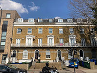
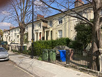
Surrey Square (unfinished) was developed on the Rolls Estate. Designed by Michael Searles (1750–1813) of Paragon, Blackheath fame and finished by 1795. The artist Samuel Palmer (1805-1881) lived at No 42. Centrepiece has a pediment decorated with a fan. 1837 Map
|
SE1 0JD map
Developed between 1820 and 1870. 1837 Map . The 1879 Anglican church of St Mark's is by Richard Norman Shaw (1832-1912) and is now a mosque. Cobourg Road overlooks Burgess Park (developed from 1951 onwards).
|
541-547 Old Kent Road
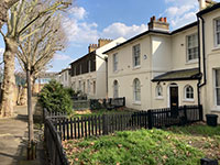
Rare example of late Regency terraces with some modern amendments. |
SE15 6NN map
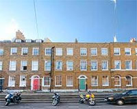
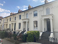
Named after Glengall Wharf on the nearby Grand Surrey Canal (1807-1971). Semi-detached villas at Old Kent Road end of road built in 1840s by Amon Henry Wilds (1784?-1857) in late Regency style with pillared porches. Grade 11 Listed. 1863 Map
|
SE15 6NW map
Named after nearby Glengall Wharf (now a park).
1863 Map
|
SE15 1LB map
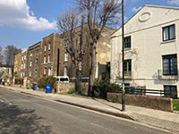
Houses built next to the Grand Surrey Canal (1807-1971). Shown on 1837 map. 2-9 Canal Grove were Grade II listed in 1972. |
SE15 6NR map
Road developed from 1852 onwards as Trafalgar Road. Road was formally laid out along a footpath leading to the northern section of Peckham, and latterly crossing a bridge over the Surrey Canal were it became Sumner Street. 1863 Map Many are Grade II listed and Trafalgar Avenue is a conservation area.
Key property: Ship House (ex-Ormand House) |
SE1 5PD map
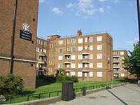
Constructed between 1958 and 1962 and situated on the Old Kent Road in the Borough of Southwark, Avondale is the City of London's largest estate, containing 680 homes. The area the estate occupied has belonged to the City since 1251, and was originally known as Twelve Acres.
|
Galleria (2006) map
Developer: Barrratt and Acme
Architect: Dransfild Owens
149 apartments and 47 artists’ studios in three connected blocks
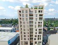
Artists’ studios and housing combined for the first time in this landmark building on the edge of Burgess Park. Built on the site of an obsolete print works, it rises 10 storeys at one end and incorporates an innovative mix of apartments for sale, shared ownership apartments and artists’ studios. |
SE1 5AN map
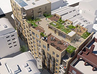
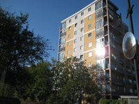
Designed by Alan Camp Architects for Camrose. Part 10 part 11 storeys high at its apex with a communal roof terrace. The ground floor will have entrance foyers for the 71 apartments and the commercial floorspace. Due 2023, it replaces Hireman premises at Nos 14-22. |
Old Kent Road Guide
Old Kent Road History
South London Guide |
