

Regency Era |
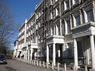
Brixton Road |
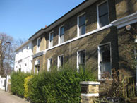
St Matthews Road |
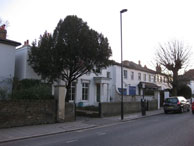
Brixton Water Lane |
|---|---|---|---|
 |
 |
 |
 |
We have highlighted some of the best Regency roads in Brixton & Stockwell for period properties to rent or buy. The Regency era is commonly understood to run from 1811 when the Prince Regent took over until 1836 when William IV died. Building in Brixton began in earnest in 1810 when its Common was enclosed. Visit our Brixton history timeline for more info. Books: |
map
|
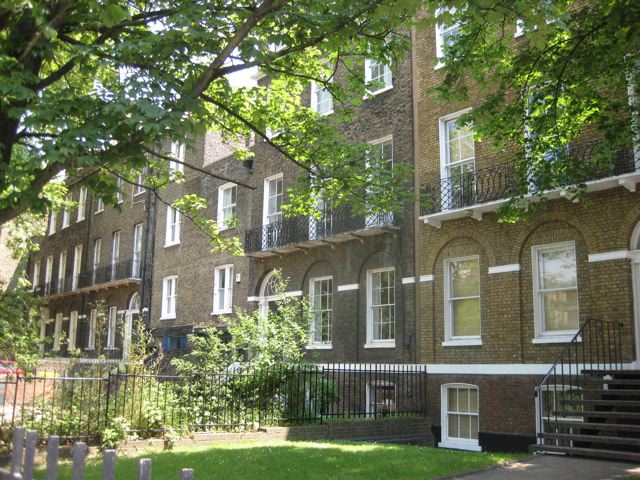
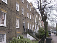
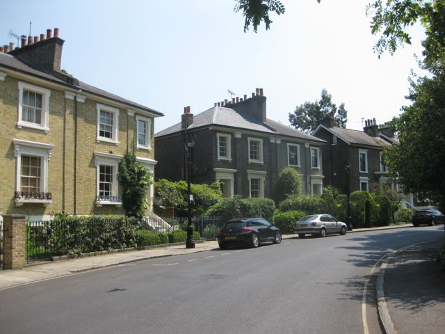
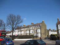
map Architecture & History: Named after St Matthew's Church (1824). The road was eveloped from 1820s on Rush Common. Location: Town centre Key Properties: Nos 1-5 are 1825-7 with Greek Doric doorway |
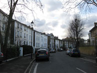
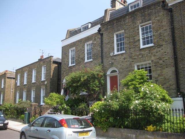
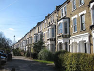
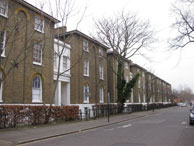
map Architecture & History: Early-mid C19 stuccoed 2 storey villa. Formerly Watery Lane. A tributary of the Effra ran along the east side. Location: Borders Bockwell Park. Key Properties: 46 & 47, 48, 55 & 57, 56 & 58 and 60 (all Grade Ii) B: Shops, restaurant & public house (ex-George Canning) |
Clapham Road |
Trinity Gardens |
Stockwell Park Road |
Foxley Road |
 |
 |
 |
|
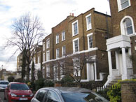
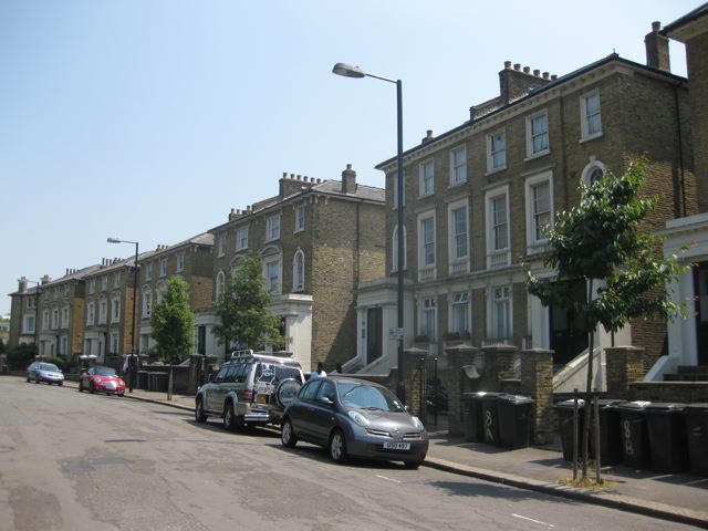
| map Originally a Roman Road to the South Coast. It is now the A3 and busy with traffic. It has many fine Georgian and Victorian houses. |
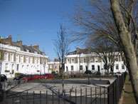
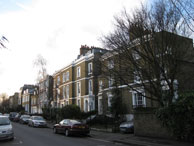
map Architecture & History: Originally Trinity Square, built in 1850s. One side of the square was destroyed by bombing during the Second World War. The name refers to the nearby Trinity Almshouses, founded in 1822 by Thomas Bailey for “pious aged women’ Location: Off Acre Lane |
map |
map |
| Victorian Era | Vassall Road |
Stockwell Park Crescent |
Groveway |
 |
 |
 |
 |
The Victorian period ran from 1837 to 1901. From 1860s onwards the new railway stations which led to further expansion. The Gothic style was in fashion plus Italianate villas. Visit our Brixton history timeline for more local info. |
map |
map |
map |
St John's Crescent |
Durand Gardens |
Hackford Road |
Lyham Road |
 |
 |
 |
 |
| map C19 villas opposite Max Roach Park. Part of the Angell Town Estate. Benedict Angell gave the land for St John’s to be built in 1853. |
map |
map |
map
|
Late Vict. /Edwardian Era |
Effra Road | Josephine Avenue | Rushcroft Road |
 |
 |
 |
 |
This period covered 1895 to 1914 and featured the Arts & Crafts Style begun in Britain. Mansion blocks of flats began to appear to cater for London’s growing population. |
map Built in 1810 on land that was part of Effra Farm. 45-47 are listed |
map Architecture & History: c. 1870 Victorian terraces. Built on Rush Common. Location: Between Brixton Hill Notes: Urban Art Fair every July josephineavenue.org.uk |
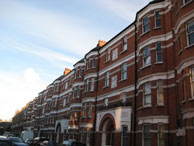
map Architecture & History: Late Victorian (1900) mansion blocks. Originally named Ardville Road (plan) It was built to house artists and technicians from the old Brixton Music Halls. Location: Runs from Tate Gardens opposite Lambeth Town Hall to Coldharbour Lane. Notes: Fanmusly occupied by squatters who invested oil the properties. |
Interwar Era |
Streatham Hill | Conveyancing |
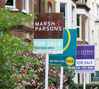
Estate Agent |
 |
 |
 |
 |
The 1920s and 1930s saw the rise of the Art Deco style plus the modernist International Style reflected in flat roofed white cube houses etc. |
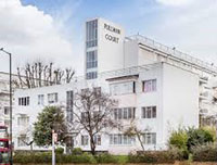
map Key property: Pullman Court (1936 flats by Gibberd) more info |
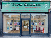
Ferns Solicitors (est. 1989) |
Oliver Burn (est. 1999) |
Postwar Era |
Cowley Road | Walton Lodge (2014 | More Property Guides |
 |
 |
 |
 |
The postwar era saw the development of modern flats including high rise flats. |
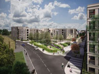
map Oval Quarter development of 357 brand new apartments Nos 11-27 is a small terrace of 1824. |
374 Coldharbour Lane |
Clapham Property |
Streatham Property