Victorian Camberwell Property Guide

Info
|
Baldwin Crescent |
Brunswick Square |
Calais Street |
|---|---|---|---|
 |
 |
 |
 |
Victorian Camberwell expanded after the addition of the Grand Surrey Canal (pictured) and the arrival of the railway in 1866. This led to the development of the de Crespigny estate on Champion Hill, the Minit estate around Myatts Fields (Myatts being their gardener). This 1862 Map show the proposed railway route.
|
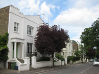
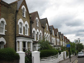
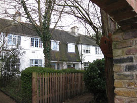
Named after Charles Baldwin, a judge, who lived at Grove Hill in the 19th Century. |
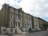
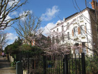
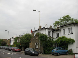
Brunswick Square was developed in the 1850s and known as Brunswick Park (it has its own garden). It was renamed Brunswick Square in 1937. |
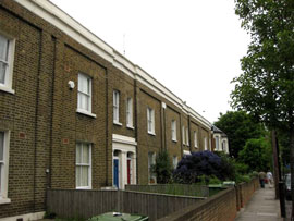
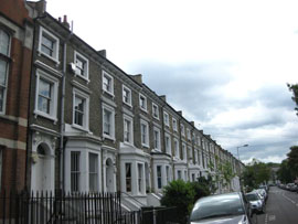
Named after town where Minet family once lived. |
| Champio Grove | De Crespigny Park | Denmark Road | Flodden Road |
 |
 |
 |
 |
map
|
map |
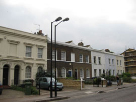
Situated by Myatt’s Field. Can be busy with traffic. Probably named after Prince George of Denmark who was Queen Anne’s Consort until his death in 1708 Conservation area: 98-112. |
Camberwell was originally in Surrey. The Earl of Surrey led the English to victory at the battle of Flodden (1513). The First Surrey Rifles HQ was established in 1865, Known as Brunswick Road in 1862? |
|
|||
| Grove Hill Road | Grove Park | Havil Street | Knatchbull Road |
 |
 |
 |
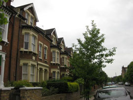 |
| map Predominantly Victorian housing with good views of London. Named in 189* after Grove Hill, the house built for Dr Lettsom in 1779. Grove Hill Road was built on its grounds after the house was demolished. Part of the grounds remains as Lettsom’s Gardens (allotments). Key Properties |
map |
Havil House once stood where Southwark Town Hall now stands. The road was originally known as Workhouse Lane after the Camberwell Workhouse situated on it. |
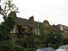
map Knatchbull Road was developed from c 1820. Part of the Minet estate acquired from Knatchbull family in 1770..Conservation area: 4-28, 1-49. Longfield Hall (1889 bow-fronted with corner entrances) |
| Love Walk | Wells Way | Wilson Road | More SE5 Guides |
 |
 |
 |
 |
| map Peaceful and secluded road than links Denmark Hill with Grove Lane. A mixture of fine Victorian and Postwar houses.Old walls remain of the southe ned of the De Crespigny estate which ran up to Champion Hill and the border with Dulwich. Key Properties |
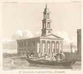
Through road that cuts across Burgess Park. Heavily developed but has a good C19 terrace. Named after James Wells who built St George’s Church on Wells Way in 1824.(now flats).He lived in Camberwell from 1803 to 1853. Key Properties: Nos 97-111 | Quiet road off Camberwell Church street Named after the Rev Edward Wilson, vicar of St Giles, who founded the Wilson Grammar School in 1615 (demolished in 1845). A second school was opened in 1883 until the school moved to Croydon in 1975. Cooper & Kendall built several house in Wilson Road in 1878-1879. |
New in Camberwell |