Dulwich Woods roads

Anerley & Penge
Beckenham
Bermondsey
Bexley
Blackheath
Borough
Brixton
Brockley
Bromley
Camberwell
Catford
Charlton
Croydon
Crystal Palace
Deptford
Dulwich Village
East Dulwich
Elephant and Castle
Eltham
Forest Hill
Greenwich
Herne Hill
Kennington
Lee
Lewisham
New Cross
Old Kent Road
Peckham
Rotherhithe
Southbank
Sydenham
Walworth
West Norwood
Woolwich
Info |
College Road (south) |
Dulwich Common |
Dulwich Oaks |
 |
 |
 |
 |
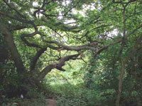
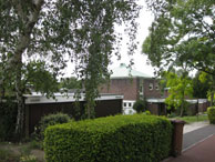
Dulwich Woods (South Dulwich) is bordered by the following roads Alleyn Park, Dulwich Common, College Road and Kingswood Drive. It is part of the Dulwich Estate and includes Dulwich College established in 1870. |
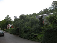
map Named College Road in 1876 after opening of the new Dulwich College Road. Originally the road was called Penge Road and was built by John Morgan, who leased fields at the foot of Grange Lane in the late 1780s, to connect Dulwich with Penge. He was permitted to build, and take tolls from, the Toll gate, to pay for the upkeep of what remains a private road. |
map |
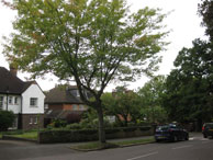
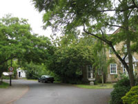
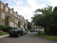
map Modern development in College Road, by Sydenham Hill Station |
Ferrings Walk |
Great Brownings |
Hambledon Place |
Pond Cottages |
 |
 |
 |
 |
| map A development near the Toll Gate named in 1967. Feringes Coppice was mentioned in 1575 and in 1621 in Edward Alleyn's Diary). It took its name from a member of the Feringe family,mentioned as Dulwich tenants from 1561 to 1658. |
map Named in 1967 after a medieval close off Court Lane in the Village. Quiet modern development off College Road leading to Low Cross Wood Lane footpath leading to the Dulwich Woodhouse. |
map |
map |
Stone Hills Court |
Toll Gate Drive |
Woodhall Avenue |
Woodhall Drive |
 |
 |
 |
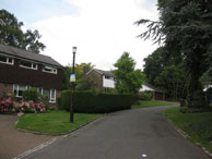 |
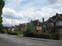
| Map Modern development off College Road |
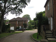
Map 1966 development. The Toll Gate in College Road is the only toll gate still in use in the London area (see College Road) |
Map |
Map Situated in Dulwich Woods just off College Road. Named in 1958 after the mansion Wood Hall at 101 College Road, which in the 1870s had replaced another mansion called Woodhouse, built by Thomas Lett c.1810. |