West Dulwich roads

Anerley & Penge
Beckenham
Bermondsey
Bexley
Blackheath
Borough
Brixton
Brockley
Bromley
Camberwell
Catford
Charlton
Croydon
Crystal Palace
Deptford
Dulwich Village
East Dulwich
Elephant and Castle
Eltham
Forest Hill
Greenwich
Herne Hill
Kennington
Lee
Lewisham
New Cross
Old Kent Road
Peckham
Rotherhithe
Southbank
Sydenham
Walworth
West Norwood
Woolwich
Info |
Alleyn Crescent |
Alleyn Park |
Alleyn Road |
 |
 |
 |
 |
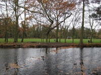
West Dulwich (SE21) is bordered by Alleyn Park, Croxted Road, Rosendale Road and Thurlow Park Road (South Circular).Part of it =is i the Dulwich Estate which was established in the 17th Century by Edward Alleyn. It developed after the arrival of the railway and the new Dulwich College (1870).Click here for an 1862 map of the area
|
map C20 development running between Alleyn Road and Alleyn Park. Named after Edward Alleyn, actor-manager, lord of the manor of Dulwich from 1606 to 1626, and Dulwich College Founder in 1619. |
map |
map Off Park Hall Road. Named after Edward Alleyn, actor-manager, lord of the manor of Dulwich from 1606 to 1626, and Dulwich College Founder in 1619. |
Carson Road |
Clive Road |
Eastmearn Road |
Loggetts |
 |
 |
 |
|
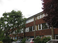
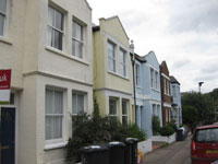
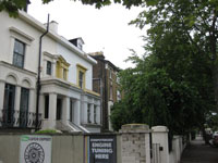
| map Victorian houses off Rosendale Road, |
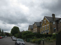
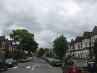
map Busy road linking Dulwich and Upper Norwood. Many houses back onto Dulwich Park or green spaces. A working tollgate remains in use. Mixed period styles. Named after Dulwich College, the Old & New Colleges are sited on the road. Key Properties: Nos 11-15 (C18) No 23 Bell Cottage (C18 weather boarded with Doric staircase),Bell House (1767 with alterations by Lutyens) No 41 (1721 altered) Nos 51-53 |
map |
map |
Park Hall Road |
Rosendale Road |
South Croxted Road |
Thurlow Park Road |
 |
 |
 |
|
| Map Originally Park Road (1872) and renamed Park Hall Road in 1938. Until 1882, a mansion house known as Hall Place, (the manor house in the 16th and 17th centuries) stood at the corner of Park Hall Road and the west side of South Croxted Road. |
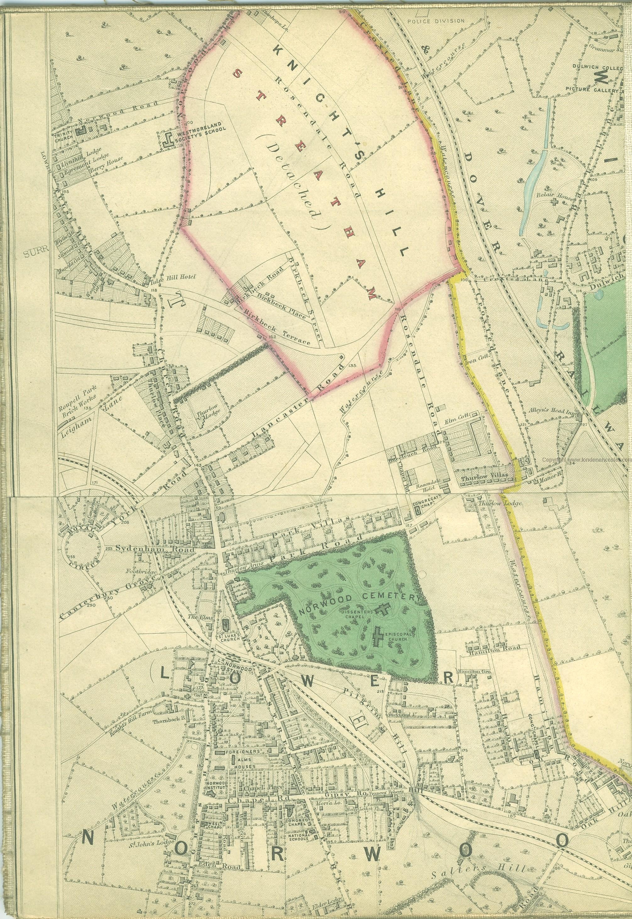
Map Off South Circular with good shops, Named in 1865 after Rosendale Hall, erected 1658 (demolished early C20). The road was originally intended as a grand avenue leading towards the Crystal Palace,. Only part of Rosendale Road passes through the Dulwich Estate, and that only because the College bought the Knights Hill Estate in 1860. |
Map |
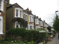
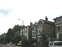
Map Part of the South Circular Road.Mixed period style but mostly large Victorian house.Named after Lord Thurlow, the 18th century Lord Chancellor who owned the Knights Hill Estate. Dulwich College bought the Knights Hill Estate in 1860. |
Dulwich Village Property Guide
