| East Peckham roads |  |
Abbey Wood
Anerley & Penge
Beckenham
Bermondsey
Bexley
Blackheath
Borough
Brixton
Brockley
Bromley
Camberwell
Catford
Charlton
Croydon
Crystal Palace
Deptford
Dulwich Village
East Dulwich
Elephant and Castle
Eltham
Forest Hill
Greenwich
Herne Hill
Kennington
Lee
Lewisham
New Cross
Old Kent Road
Peckham
Rotherhithe
Southbank
Sydenham
Walworth
West Norwood
Woolwich
Info |
Asylum Road |
Clifton Crescent |
Commercial Way |
 |
 |
 |
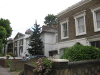 |
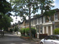
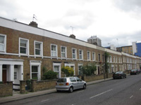
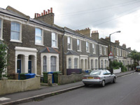
East Peckham was known as Peckham New Town. |
map |
map
|
map
|
Fenham Road |
Friary Road |
Furley Road |
Kings Grove |
 |
 |
 |
 |
| map Named in 1866 after Fenham in Northumberland. |
map Previously known as Lower Park Road and developed in the 1840s. Renamed in 1935 to commemorate the old monastery in this road. |
map |
map |
Marmont Road |
Montpelier Road |
Naylor Road |
Peckham Park Road |
 |
 |
 |
 |
| Map Originally known as Marlborough Road. |
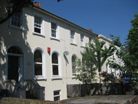
Map Named in 1871 after the then fashionable town of Montpellier in France. |
Map |
Map Known as Park Road and Upper Park Road until 1870. This area was originally a large park in pre-Victorian times. |