| East Dulwich Property Guide: Lower East Dulwich |  |
Abbey Wood
Anerley & Penge
Beckenham
Bermondsey
Bexley
Blackheath
Borough
Brixton
Brockley
Bromley
Camberwell
Catford
Charlton
Croydon
Crystal Palace
Deptford
Dulwich Village
East Dulwich
Elephant and Castle
Eltham
Forest Hill
Greenwich
Herne Hill
Kennington
Lee
Lewisham
New Cross
Old Kent Road
Peckham
Rotherhithe
Southbank
Sydenham
Walworth
West Norwood
Woolwich
Local info |
Archdale Road |
Crawthew Road |
Crystal Palace Road |
 |
 |
 |
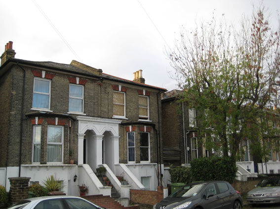 |
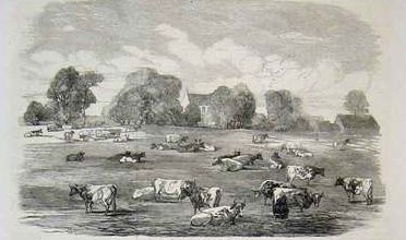
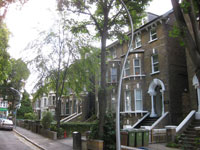
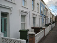
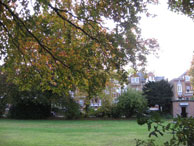
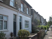
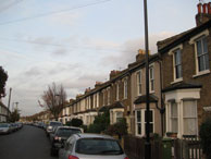
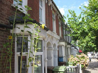
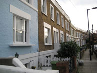
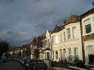
Lower East Dulwich is the central area of SE22 between Lordship Lane, East Dulwich Road, Peckham Rye and Barry Road, It was part of Friern Manor which was developed in the latter half of the Nineteenth Century. Previously it had been green fields with cattle grazing. Within two decades it had become a thriving suburb, Click here for an 1862 map of Friern Manor |
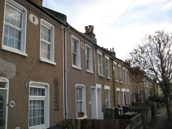
map Quiet road off North Cross Road, built in 1871. Named after a road in Ulster. Medium sized mid-Victorian terraces. Key property: Old St John’s & St Clement’s school built in 1872 and closed in 1994 then converted to residential units. Local recommendation: Thai Corner restaurant |
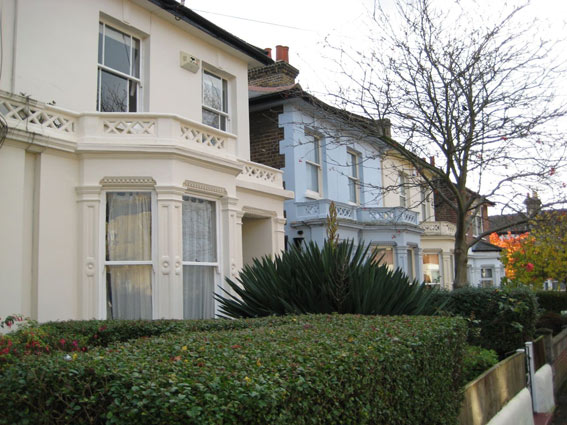
map Tree-lined road off Lordship Lane. Mixture of Mid-Victorian terraces & semi-detached built in 1874. Previously known as Holly Road and Agnes Terrace. Local recommendation: Green & Blue wine bar |
map The road runs from East Dulwich Road up to Lordship Lane. At the East Dulwich Road end mostly fine large Victorian semi-detached houses built in 1867. The Crystal Palace at Sydenham was in view until it was destroyed in 1936. Now a busy road with traffic calming. Local recommendation: Crystal Palace Tavern |
East Dulwich Road |
Frogley Road |
The Gardens |
Hindmans Road |
 |
 |
 |
 |
| map The road links East Dulwich to Nunhead and runs along along Goose Green open space. Mostly large prosperous Victorian houses built in 1881. Most now converted to flats. Heavy traffic to Dulwich side and on the 37 and 484 bus routes. Quiet on the Peckham side. Local recommendation: Mirash Indian restaurant |
map Quiet road leading off Lordship Lane. It consists of smallish Mid-Victorian terraced houses built in 1864 - ie a very early East Dulwich Victorian development on what was green fields. Local recommendation: Green & Blue wine bar |
map Attractive square with private garden off Peckham Rye built in 1875. Previously market gardens. Very large Victorian houses. Most now converted into flats. Use of square for many householders. Little traffic. Local recommendation: The Gardens Cafe & Deli |
map Quiet road with Victorian terraced houses leading off North Cross Road. Named in 1868. The Frienr Manor Diary Farm operated on this site from the Middle ages until 1873.Local recommendation: North Cross Road Shops, Bars etc |
Landells Road |
Lordship Lane |
Nutfield Road |
Worlingham Road |
 |
 |
 |
 |
map |
map |
map |
map Peaceful road off East Dulwich Road with fine copper beeches. Named in 1866 and built 1881-87 on gardens of Norland House. Mostly late Victorian terraces Local recommendation: Mirash Indian restaurant |