| Peckham Rye roads |  |
Abbey Wood
Anerley & Penge
Beckenham
Bermondsey
Bexley
Blackheath
Borough
Brixton
Brockley
Bromley
Camberwell
Catford
Charlton
Croydon
Crystal Palace
Deptford
Dulwich Village
East Dulwich
Elephant and Castle
Eltham
Forest Hill
Greenwich
Herne Hill
Kennington
Lee
Lewisham
New Cross
Old Kent Road
Peckham
Rotherhithe
Southbank
Sydenham
Walworth
West Norwood
Woolwich
Info |
Bellenden Road |
Chadwick Road |
Choumert Road |
 |
 |
 |
 |
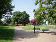
Its borders are Peckham Road, Rye Lane, East Dulwich Road and Bellenden Road. Peckham and Camberwell were separated before the coming of the railway by green fields (see 1862 map) Many of the later roads off Peckham Road were named after lawyers. |
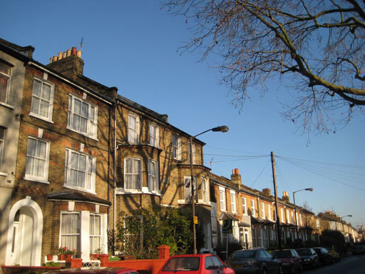
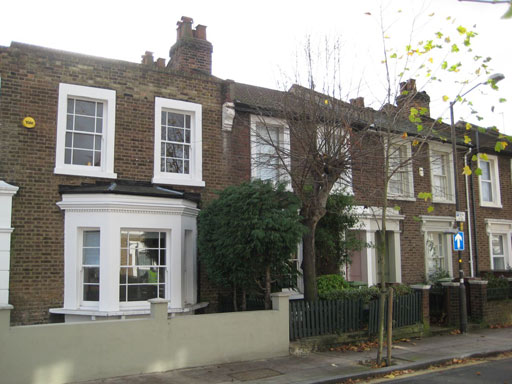
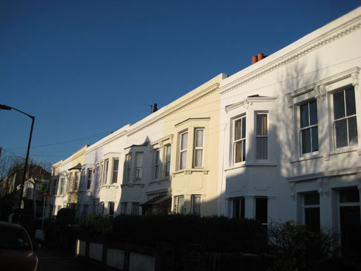
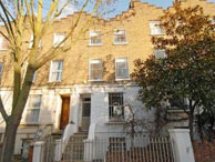
map Victorian terraces. Originally Victoria Road. and renamed Bellenden Road in 1873. East Dulwich end is very quiet. It has its own residents association. Local amenities: Bellenden Road shops and bars |
map |
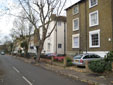
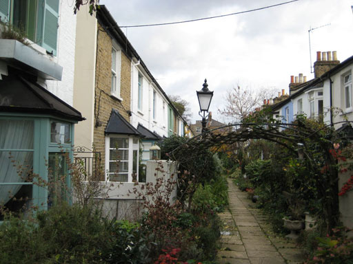
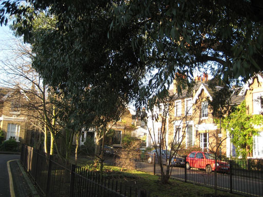
map West of Bellenden Road standard Victorian terraces. East of Bellenden earlier individual house styles and builders Named after George Choumert (died 1831) a local landowner of French extraction. East end previously Montpelier Road (to 1865), then Choumert Place. Local amenities: Bellenden Road shops and bars |
Choumert Square |
Denman Road |
Holly Grove |
Lyndhurst Grove |
 |
 |
 |
 |
| map Small Victorian houses that were infilled in a garden of a Rye Lane house in the c 1870s. This car-free cul-de-sac off Choumert Grove contains London’s smallest square. Local amenities: Bellenden Road shops and bars |
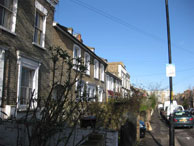
map Developed by the British Land Company between 1857 and 1862 and named in 1858 after Lord Denman, a lawyer. Quiet road with early Victorian terraces off Peckham Road. Local amenities: Camberwell Church Street shops and bars |
map |
map |
Lyndhurst Square |
Lyndhurst Way |
Oglander Road |
Talfourd Road |
 |
 |
 |
 |
| Map Named in 1843 after Lord Lyndhurst, a lawyer. Early Victorian large detached houses with small green square situated off Lyndhurst Way. One side now social housing.Local amenities: Camberwell Church Street shops and bars |
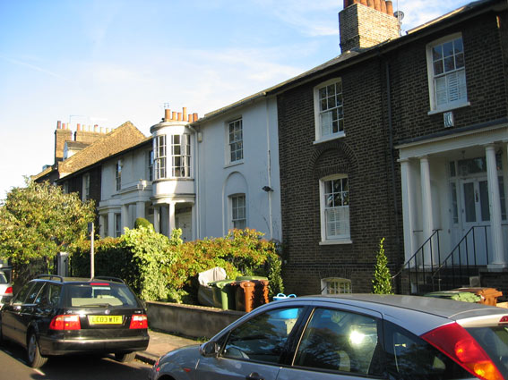
Map Named Lyndhurst Road after Lord Lyndhurst, a lawyer. Houses were added in the 1840s and W Stubbs built there in 1878-9. Renamed Lyndhurst Way in 1938. Very attractive but can be busy with traffic. Local amenities: Bellenden Road shops and bars |
Map |
Map Developed by the British Land Company between 1857 & 1862. Named after Justice Talfourd. Quiet road consisting of mid Victorian terraces near the South London Gallery thus popular with artists. Local amenities: Camberwell Church Street shops and bars |